GIS
Epsilon’s GIS team excels in leveraging cutting-edge geospatial software to deliver complex constraints analyses, accurate modeling results, and meticulously detailed maps—ensuring your project’s success.
GIS Services
Environmental site analyses
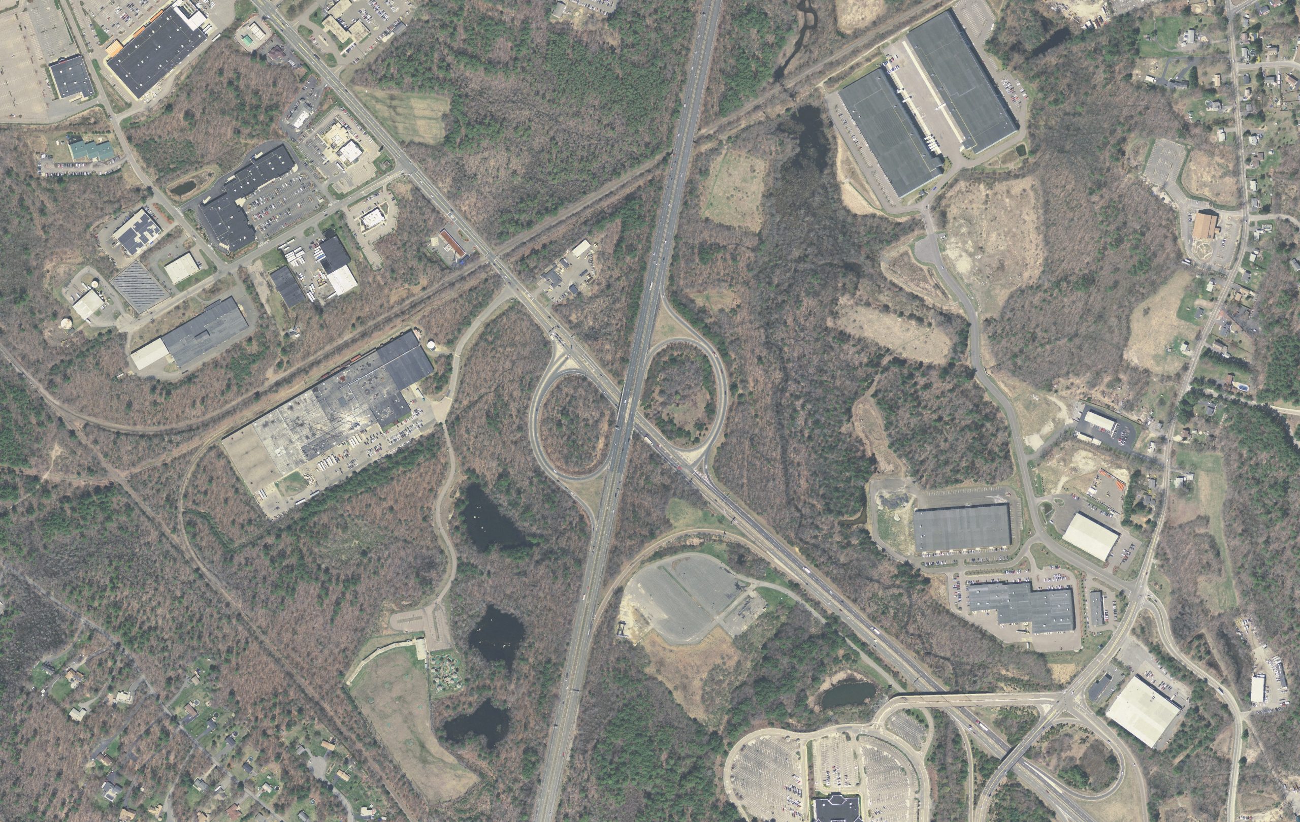
Facility siting and routing analysis
Historic resources inventory and research
Cartography and data visualizations
Photo simulation
Database development
GIS Across Industries
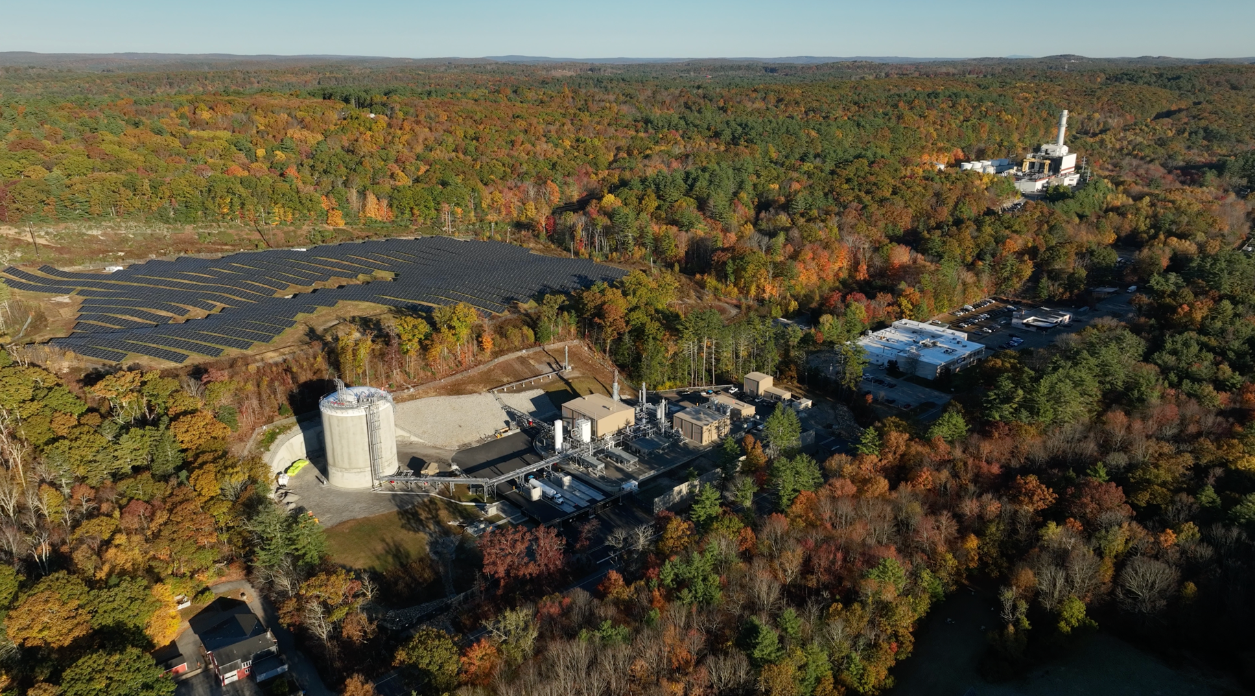
Epsilon’s GIS team supports a wide array of company projects spanning all of the markets and services in which the company works. In particular, the team supports the energy, infrastructure, and real estate and commercial development markets.
Epsilon’s air quality experts closely follow regulations and are able to decipher federal, state, and local regulations.
Our team’s dedication to efficient workflows, innovative problem-solving, and delivering high-quality map products has solidified Epsilon’s reputation for accuracy and reliability. The trust of our growing clientele and our industry success speak volumes.


Advanced Modeling Tools and Software
The Environmental Systems Research Institute (ESRI) suite of GIS software is an essential component of Epsilon’s day-to-day business. It is a powerful tool for environmental analysis and visualization and provides a range of inputs and functionality to projects. This software enables our scientists to perform preliminary site mapping, implement customized analytic strategies, and generate interactive web maps for fieldwork and data sharing. These expertly produced maps and visuals aid in a project’s permitting process.
Epsilon’s GIS & Graphic Specialists utilize the latest software and tools from ESRI (GIS), Autodesk (CAD & 3-D Design), and Adobe (Graphic Design). We are also able to use other graphic and modeling tools for specific applications.
Project Portfolio


Questions?
Any particular questions regarding our GIS services, please reach out!
